Spot Elevation CAD Block
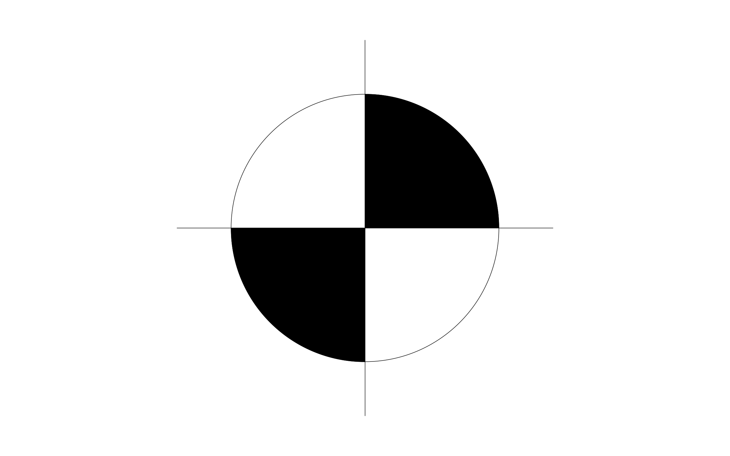
Spot elevation CAD block free in DWG, DXF, and PNG. Place it at any point on a plan and label it with the height or grade at that spot.
Key Features
ArcSite's Spot Elevation CAD Block
- Standard Point Elevation Symbol: A drafting-standard marker for calling out a single height or grade value at a specific point.
- Editable Label Placement: Position the value next to the marker to match how the rest of your sheet is labeled.
- Works for Site and Floor Plans: Use it for grading, drainage, or finish floor elevations wherever a single point value is needed.
- Easy Integration: Insert into ArcSite drawings instantly, or export DWG/DXF formats for use in any standard designing software.
- Compatibility with CAD software: The spot elevation CAD block can be viewed in most CAD software, including AutoCAD and ArcSite.
Unlock 1,200+ Free CAD blocks with the ArcSite app

CAD blocks. Floor plans. Estimates. Do it all with ArcSite's mobile app.
Free access to over +1,200 blocks included with the ArcSite CAD app
Trusted by the Pros. Honored for Innovation.





Based on 21,000+ reviews from


Architectural Symbols & Site Annotation
CAD blocks you might like

Unlock 1,200+ free CAD blocks with ArcSite
Drag and drop from thousands of preloaded shapes, edit blocks on-site, and generate instant estimates and takeoffs.
FAQs
What does a spot elevation call out?
It marks a single point on a plan and gives the grade or finish elevation at that exact spot.
Can I use it to show drainage direction across a site?
Yes, placing several spot elevations across a grading plan lets you show how the ground slopes between points.
What formats is it available in?
DWG, DXF, and PNG.



Ask AI about ArcSite: