
Why your floor plan should be the foundation of every photo you take.
In the world of construction, clear photo documentation isn’t a luxury — it’s a necessity. But photos dumped into a folder with generic file names and no context? That’s not documentation. That’s chaos.
True construction photo documentation connects visuals to the actual jobsite in a way that eliminates confusion, protects your team, and streamlines your entire project workflow. And that’s exactly where ArcSite comes in.
What Is Construction Photo Documentation — Really?
At its core, construction photo documentation is the process of capturing, organizing, and referencing site photos to support everything from daily reporting to client communication and risk management. But in practice, it’s so much more than just snapping a few pictures on your phone.
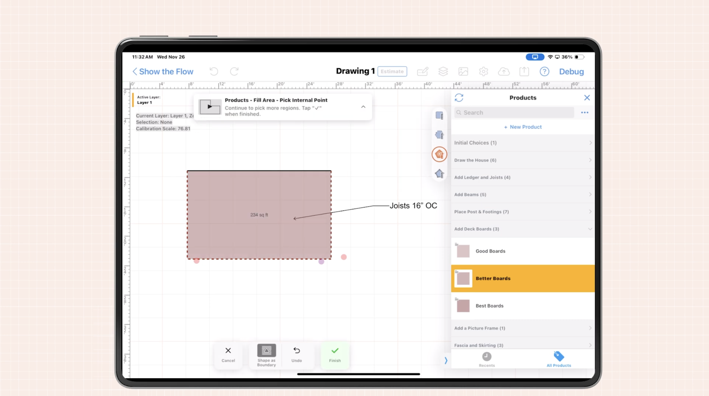
With ArcSite, photo documentation becomes intelligent, contextual, and actionable. Every photo you take is pinned to your actual drawing or site plan, so there’s no second guessing what was captured — or where.
Why Traditional Photo Documentation Falls Short
It’s one thing to have photos of a project. It’s another to have those photos mean something. Traditional tools might let you take and store images, but they leave out one key piece: context.
- What are we looking at?
- Where on the jobsite is this?
- Is this before or after an install?
- Who took it? And why?
Without this information, you’re left hunting through photo galleries or trying to interpret filenames to tell the story. And that’s wasted time and potential liability.
ArcSite Changes the Game
ArcSite’s built-in construction photo documentation tools solve these problems by combining the power of site photos with your actual drawings. With just your phone or tablet, you can:
✅ Snap a photo directly within the app
✅ Drop that image onto a floor plan or site map
✅ Add annotations, notes, or sketches
✅ Instantly organize it by project, location, or milestone
No more digging through cloud folders or wondering which corner of the job a picture refers to. ArcSite ties it all together — visuals + spatial context + documentation — in one place.
.webp)
Why Contextual Photo Documentation Improves Project Management
Construction photo documentation isn’t just about record-keeping. Done right, it becomes a critical project management tool that:
🔍 Protects Against Disputes
When a question or claim comes up weeks or months after the fact, you need visual proof. Photos that are pinned to your plan and time-stamped become your best defense — or your best way to back up your crews.
🧠 Keeps Everyone Aligned
Your team, clients, and subcontractors can’t all be on-site every day. But with visual records linked directly to the drawing, you can tell the full story without needing to write a novel. Less miscommunication = less rework.
📈 Speeds Up Reviews and Reporting
Want to see what changed between phases? Need to share daily progress updates? With ArcSite, it’s easy to pull a report that includes annotated, plan-linked photos that speak for themselves.
🚧 Improves Quality Control and Compliance
Spot issues early by walking the site and dropping notes right where they matter. Share punch items, installation proof, and progress tracking — all with visual clarity and zero guesswork.
Real-World Applications of Construction Photo Documentation in ArcSite
Here’s where ArcSite’s approach to construction photo documentation really shines:
- Before/after shots of critical work areas
- Pre-pour inspections or underground utility checks
- Damage reports near neighboring properties
- Proof of completed installs for billing
- Visual punch lists with exact location callouts
Every photo becomes a piece of your project’s living record, with the right context and clarity for faster decision-making.
How to Start Documenting Smarter with ArcSite
Ready to level up your construction photo documentation? Here’s how to get started with ArcSite:
- Import or draw your site plan in the ArcSite app
- Walk the site and capture photos — all linked to exact locations
- Use markup tools to highlight details or flag issues
- Organize by phase, trade, or workflow — no messy folders required
- Generate reports instantly with embedded plan views and visuals
Whether you’re doing walkthroughs, inspections, or reporting back to the client, ArcSite helps your photos work harder.
Build with Confidence
Photo documentation is only as useful as it is clear. By anchoring every image to your plan in ArcSite, you create a system of record that’s visual, reliable, and fast. Less guesswork, fewer mistakes, and more control from kickoff to closeout.
Want to see how ArcSite simplifies construction photo documentation?
Schedule a quick demo or try it free — and start building smarter.
Categories
INDUSTRY