ArcSite
+
Smart Level
ArcSite has partnered with Smart Level to create a more efficient way of taking measurements and putting them into ArcSite drawings. Smart Level and ArcSite together make on-site drawing, estimation and proposals simple!
Measure, Draw & Quote in One Flow
Combine the power of Smart Level's digital accuracy with ArcSite's drawing capabilities.
This partnership allows you to:
- Capture precise elevation data and automatically transfer it to your canvas
- Create accurate, to-scale as-built drawings and slope plans in minutes
- Eliminate manual data entry to save time and prevent costly errors
Measure, Draw, Done
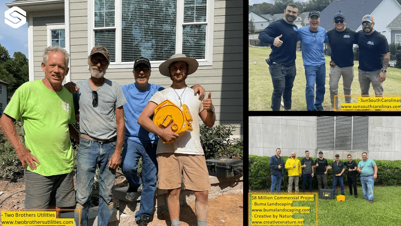
About Smart Level
Smart Level is a revolutionary digital tool that provides easy elevation and distance readings without needing a clear line-of-sight. A true one-man operation, it allows you to map terrain, embed data into photos, and create 3D job site models. Perfect for hardscaping, decking, and foundation repair. Click the link below to learn more!
ArcSite's Professional, On-Site Drawings in Minutes
Say goodbye to clunky software and paper sketches. Use ArcSite’s mobile-friendly platform to design precise layouts directly in the field.
- Create detailed site plans, including piers, footings, and leveling zones
- Add visual clarity with annotations, photos, and measurements
- Impress clients with polished, professional designs

ArcSite's Instant Material Takeoffs, Estimates and Calculations
Streamline your material management process and reduce waste. ArcSite automates calculations directly from your drawings to ensure no detail is overlooked.
- Automatically calculate material needs like piers, concrete, or rebar
- Customize material libraries with your specific products and prices
- Provide accurate estimates without delays